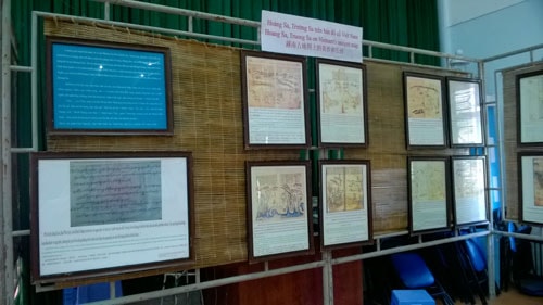
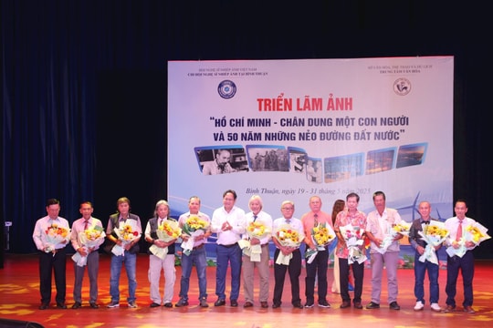
The exhibition aims to introduce historical maps, documents and photographs proving Vietnam’s sovereignty over Truong Sa and Hoang Sa archipelagos to the public; reject the China’s groundless requests and allegations distorting the history about the sovereignty over Vietnam’s Truong Sa and Hoang Sa archipelagos and other islands and waters in the East sea.
 |
| Documents on display |
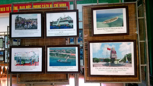
The exhibition showcases over 200 maps, documents, publications, and artifacts gathered from the resources of researchers and scholars in the country as well as from sources abroad. The works at the exhibition are selected from thousands of photographs taken by the authors when exploring Hoang Sa and Truong Sa.
 |
| Documents on display |
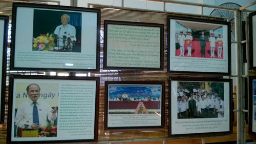
The exhibition awakes Binh Thuan people, cadres as well as visitors to their passion and love for Hoang Sa and Truong Sa Island, contributing to raising their awareness of national sovereignty protection over seas and islands. Besides, the exhibition also provides an insight into the beauty of the islands and the lives of cadres, soldiers and people on Truong Sa archipelago.
 |
| Documents on display |
Vietnam claims its sovereignty over Hoang Sa and Truong Sa archipelagos from very early stage since the Vietnamese feudal dynasties and modern Governments have consecutively confirmed the sovereignty protection legally in peaceful methods. The exhibit firmly rejects China’s unreasonable claims over the tow archipelagoes, as well as other Vietnam’s seas and island. Those documents, which will be showcased at the exhibition, are carefully selected from thousands of in-dept researches and proofs.
Translated by My Thien
(Source: Binh Thuan Department of Informatics and Communications)










.jpg)




.jpeg)
.jpeg)


.jpeg)

